 |
Friends of the Corve and Teme Ludlow's flood action and river environment group |
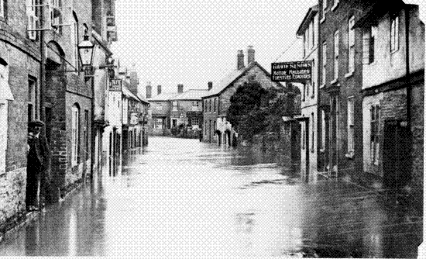
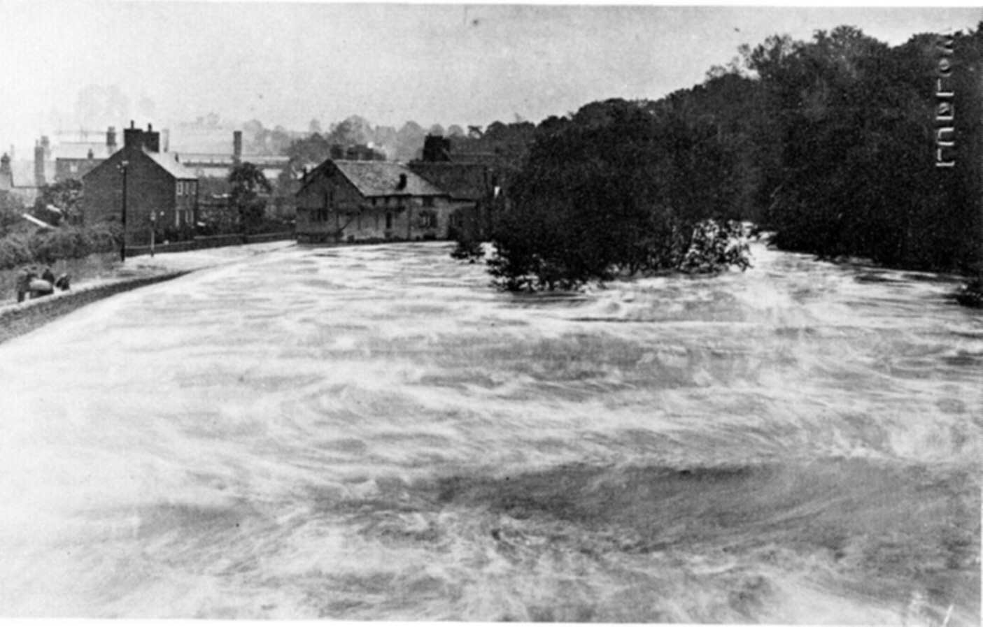
The history of flooding in LudlowThe "Bread Walk” is the local name for a well-known path running alongside the river Teme downstream of Dinham Bridge. But the origin of the name is not so well known. On 6 May 1886 “at an early hour somebody was going from door to door rousing the inhabitants with the report that the River Teme was rising alarmingly fast. Some ground floor rooms were flooded to a depth of 5 feet. In Holgate Fee [near the bottom of Old Street] the water was by now 8-10 feet deep and egress from any of these cottages in these areas was out of the question; the only thing to do was to construct a raft to go to them. This was at the end of a wild period of rain and snow, and more rain to follow. The rain kept falling. Up and up the Whitecliff it rose to an unprecedented height, almost to the top of the hill. The railway bridge spanning the Corve [at Onibury] fell with a crash at 6.30 a.m. Dead cattle and sheep floated everywhere, and many a small farmer was utterly ruined. Of course the flood swept away the lovely walk alongside the Teme, and it was essential to rebuild it. Lord Clive paid the workmen who were glad of the work of remaking the famous walk in bread and blankets and food. They named it amongst themselves “The Bread and Blanket Walk”; time has shortened it to “The Bread Walk” [Shropshire Magazine, July 2011]. In June 1924 the Corve broke its banks and flooded. Photographs show very high water levels for both the Teme and the Corve, and Lower Corve Street may have been 0.5 metres higher, and the Teme at Ludford Bridge may have been 1 metre higher, than in the recent floods of 2007. And this was apparently “not one of the worst years" for flooding in Ludlow [Bill Webb “A Ludlow Album: A Collection of Old Photographs”, Shropshire Libraries, Shrewsbury].
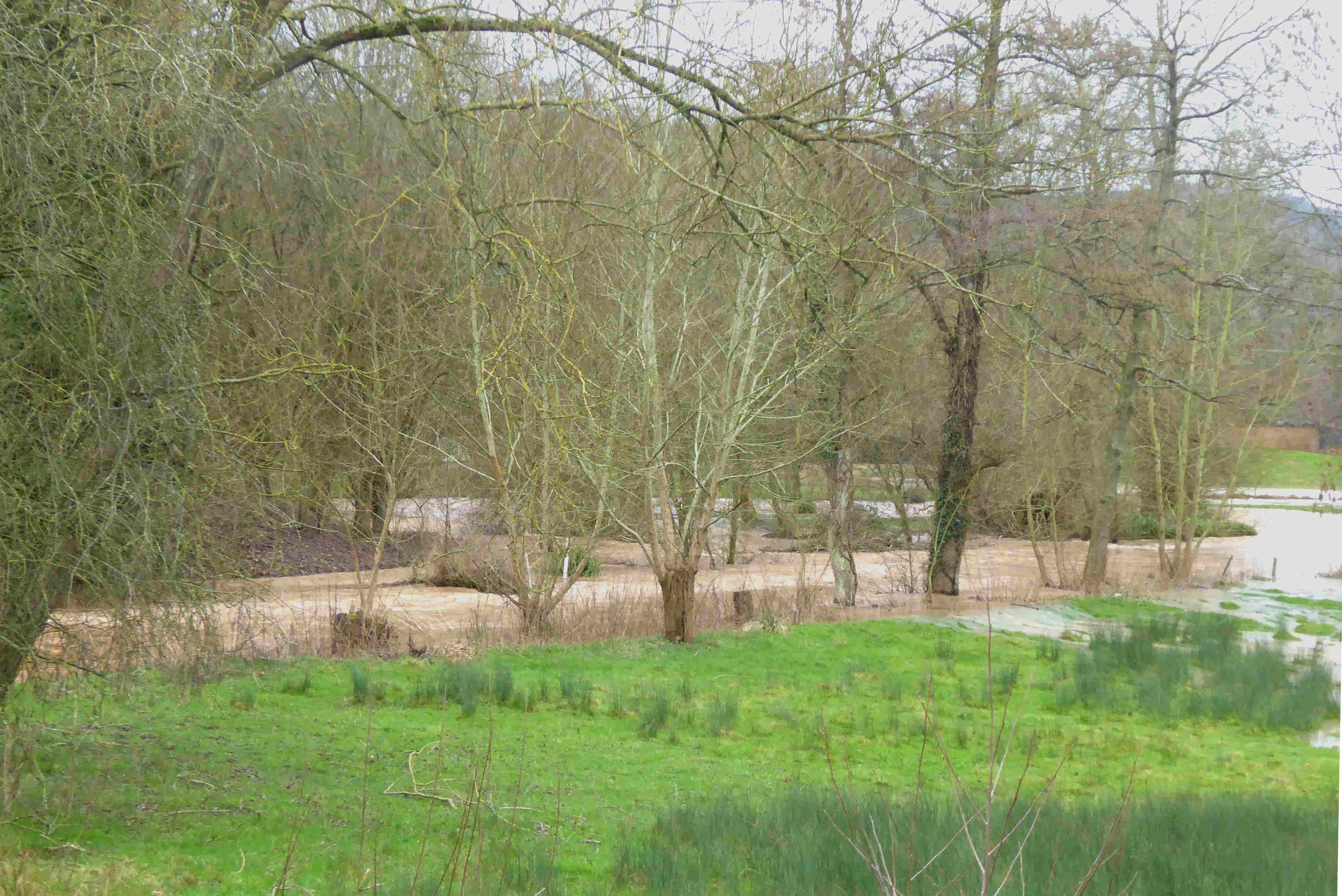
Following the very heavy winter snowfalls of January and February 1947, one of the severest floods ever of the Teme was in March of that year, which has been documented dramatically on video [Ludlow Town Council VHS video “Ludlow Memories: a video of 20th century amateur films”]. In October 1987 the fields off Linney and the recreation ground were flooded by water from the Corve. Local historian David Lloyd’s photograph collection [Shropshire Archives, David Lloyd archive, 35 mm slides] shows a flood zone around the Corve similar to the flood of 2007 some 20 years later. It occurred at the same time as the ‘great storm’ of October 1987 which devastated southern England. That storm was described by weathermen at the time as a freak ‘1 in 200 year’ event on the grounds that no such storm had occurred since the ‘great storm’ of 1703. Yet just two years later, on ‘Burns night’, January 1990 there was an even more severe storm! On 30 April 2012 heavy rain again led to flooding of the Corve, the haunches of the footbridge along the Shropshire Way being inundated. Such flooding is now recurring almost annually, and the Corve is progressively changing its course.
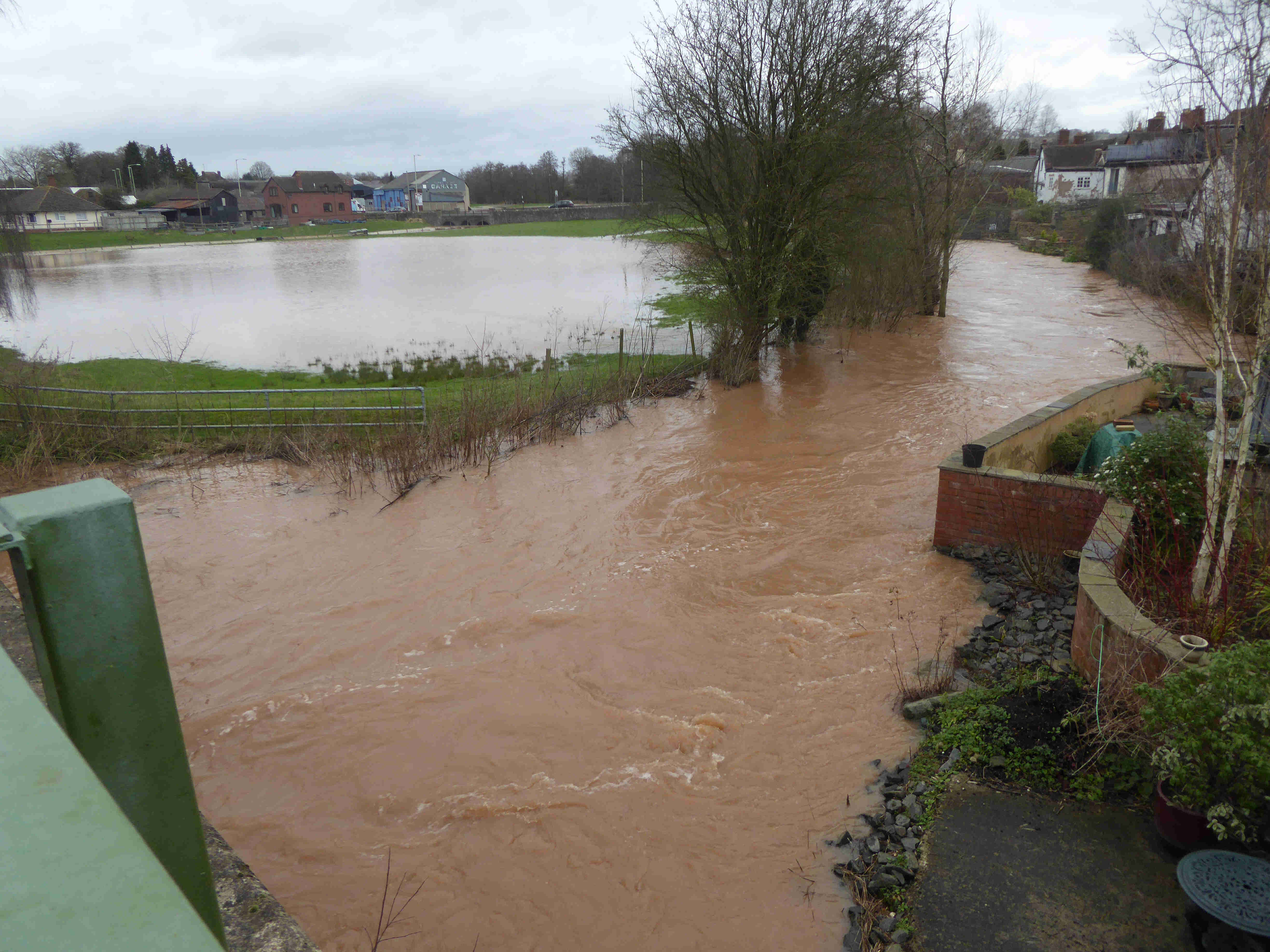
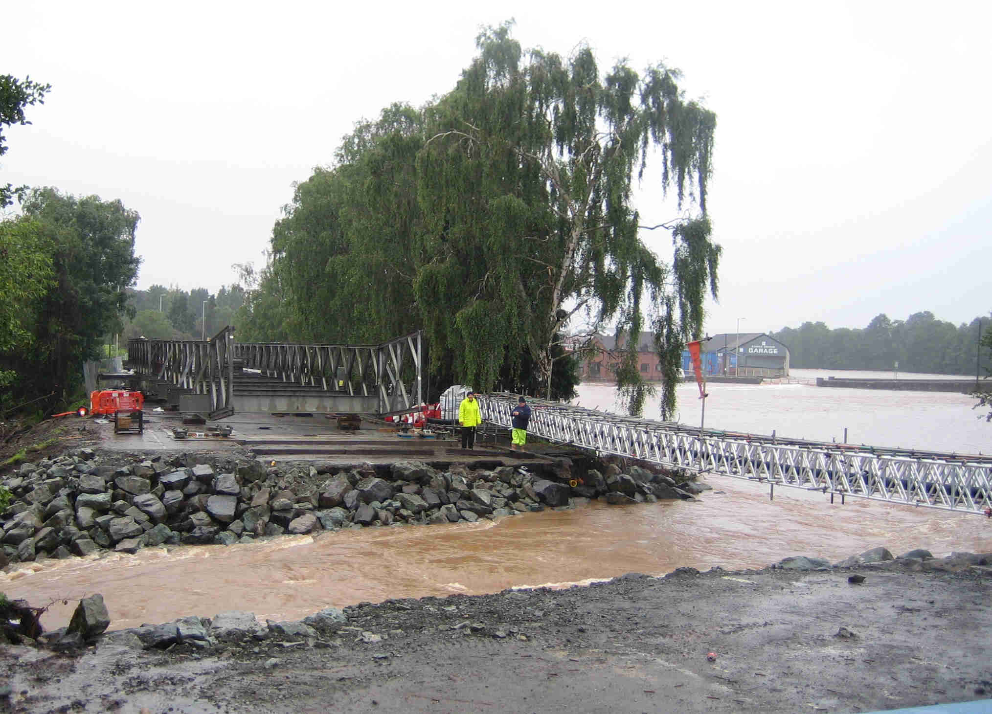
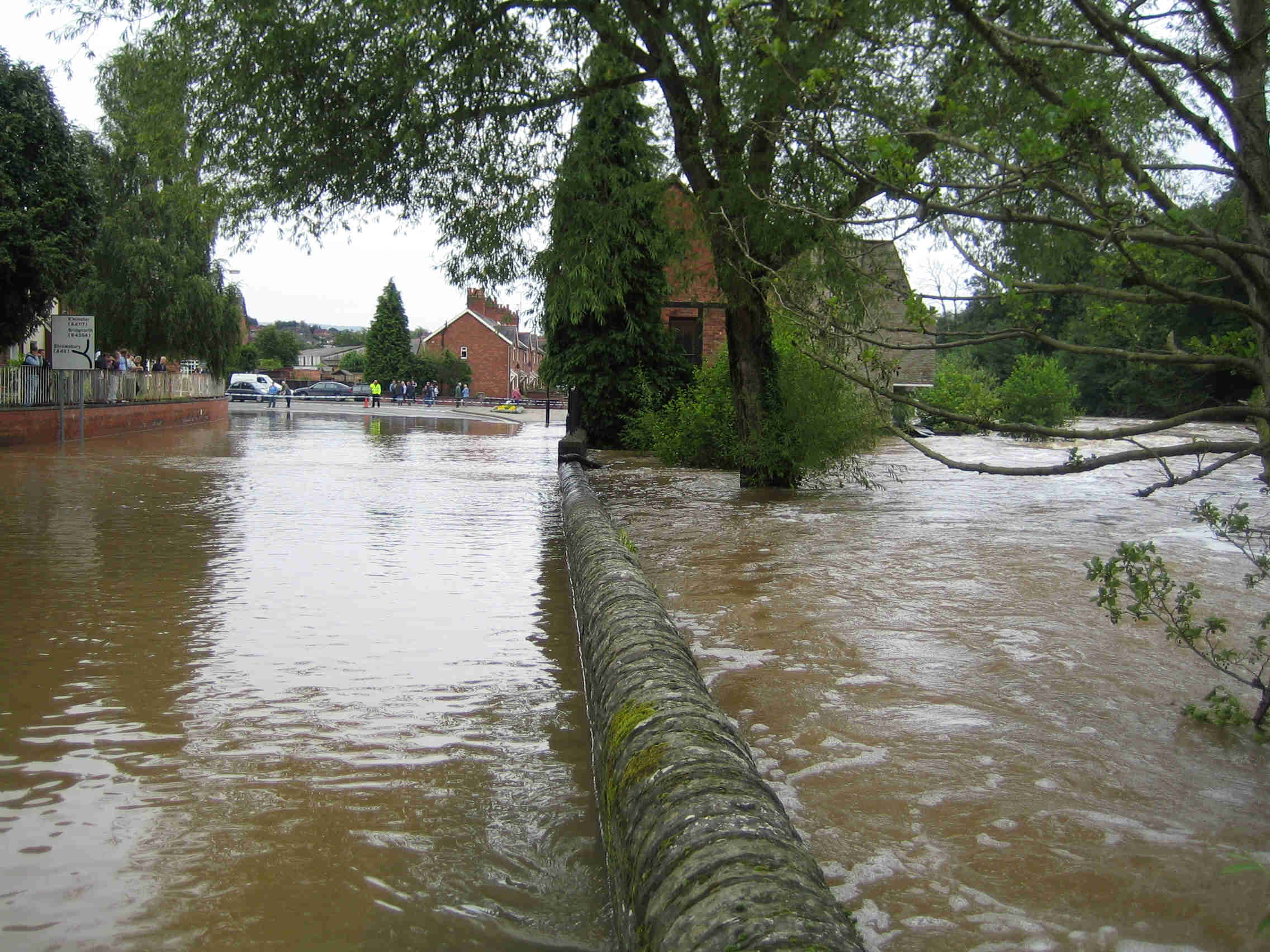
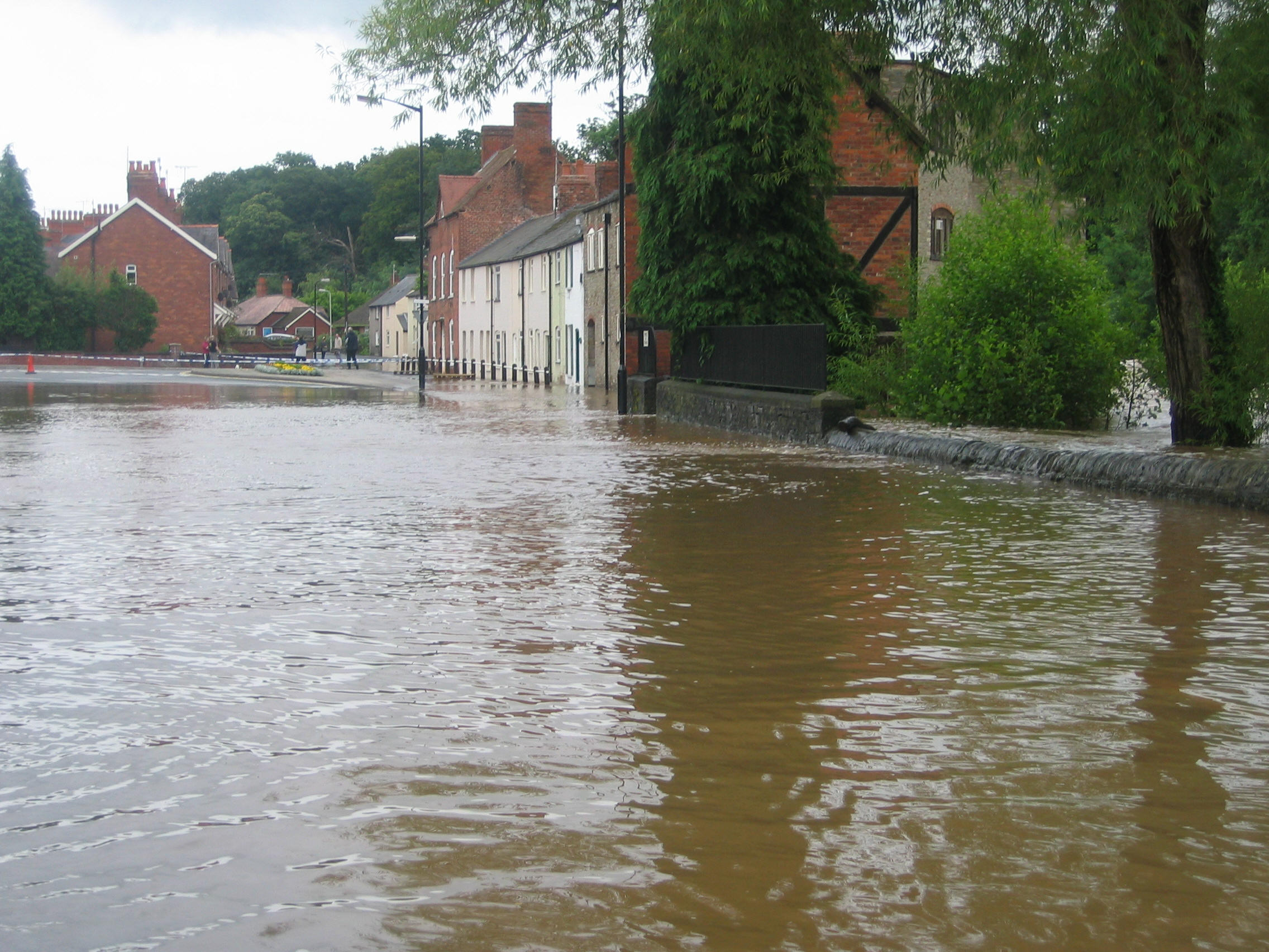
The river Corve from Burway Bridge, February 2016 The summer 2007 floods and the influence of weatherOn 25 June 2007 flooding of the Corve swept away the 1931 Burway road bridge carrying off parts of Coronation Avenue, as well as a nearby house. On 20 July of the same year there was a second flood, this time primarily of the Teme. Both events caused severe flooding in Ludlow, both at Lower Corve Street and along Temeside. Fields and properties on Linney were also affected, floodwater reaching the roadway at one point.
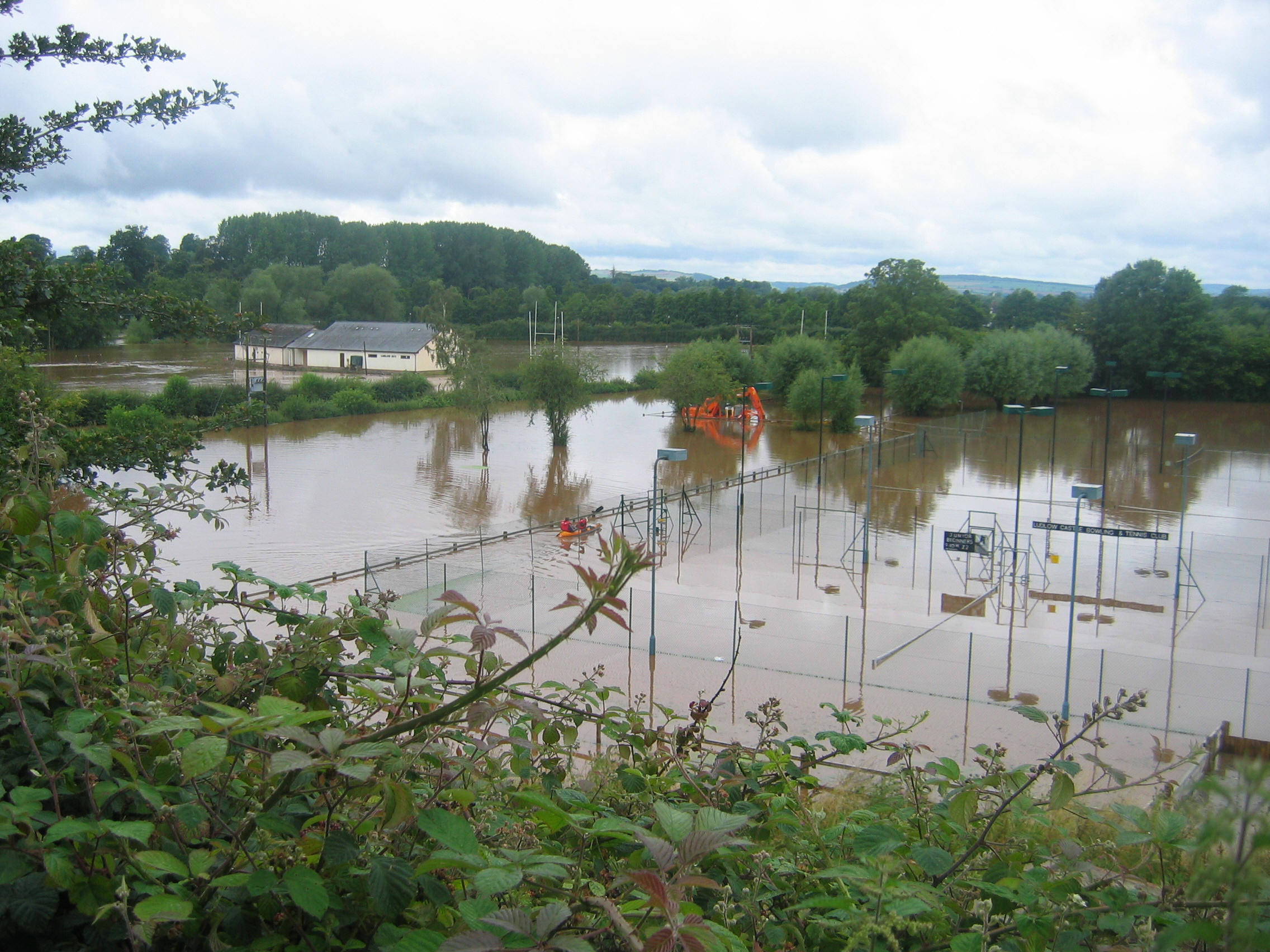
June and July 2007: Collapse of Burway Bridge, and flooding ofTemeside A hydrological study by the National Environment Research Council showed that the flooding of summer 2007 was associated with unusually high summer rainfall over a period of 3 months. Over the historical period 1766 to 2007 the 3-month rainfall figures between April and September exceeded 400 mm during the years 1776, 1782, 1800, 1830, 1880, 1912, 1927 and 2007. So the weather conditions that were responsible for the 2007 floods had occurred 8 times in the previous 240 years. Heavy rainfall over a 3-month period is not the sole determinant of whether or not flooding will occur, but it is one of the main preconditions for increased flood risk. Slightly lower summer rainfall figures, in the range 330-400 mm, have occurred 22 times in the past 240 years, including the years 1919, 1924, 1946, 1950, 1956, 1957 and 1960. The Corve is known to have flooded in 1924, 1927, 1946, 2007 and 2020, and there may have been other incidents. Every recorded instance of flooding from the Corve can be associated with a period of heavy rainfall. The year 2007 was exceptional only in the recent context. Because no heavy summer rainfall was experienced in England and Wales during the period 1960-2006, the scarcity of flood incidents over that period has resulted in a certain amount of complacency concerning flood risk.
The geography of the flood plainTo see why Ludlow is so flood prone we should look at the Environment Agency flood zone map. Downstream of Dinham Bridge the flood zones follow the Teme closely, but why is there such a huge flood zone at the confluence of the Teme and the Corve? At first glance it appears simply to be fluvial (river) flooding, but there is also an increased flood risk due to groundwater rising through the alluvial sediments deposited in recent times by the rivers. Groundwater rise is particularly prevalent from terraces of fluvioglacial sand and gravel which had been deposited by flowing meltwater from glaciers melting at the end of the last Ice Age) around Bromfield; an example is the famous Boiling Well. According to a 2004 DEFRA flood risk study groundwater flooding is most likely to occur in low-lying areas underlain by aquifers (permeable rocks), which in the Ludlow area will have been caused by localised sedimentation of sands or river gravels at the bottom of valleys underlain by the much less permeable Silurian bedrock. Susceptibility to groundwater flooding is also shown by British Geological Survey (BGS) studies BGS05 Groundwater Science and Groundwater Flooding. At the often-flooded Linney recreation ground, floodwaters emerge not only from both the Teme and the Corve, but probably also from groundwater rise since it is likewise bounded by fluvioglacial terraces. The presence of both alluvium and terrace gravels is clearly marked on BGS maps, and the resulting nutrient-rich soil is well known to gardeners in Linney. Alluvial sediment demarcates where flooding taking takes place and contributes hugely to Flood risk and planning considerationsPlanning authorities need constantly to be aware that where a large excess of water accumulates due to sudden precipitation events it has to flow somewhere. The nature of a floodplain is that it can help to accommodate and absorb that excess water. Creating flood defences to channel the flow, in an attempt to ‘protect’ new buildings, solves nothing; it merely shifts the problem onto somebody else. One example of inadequate understanding of such natural boundaries concerned a 2009 request to change the Development Boundary to allow housing development in a field on Linney. The associated Flood Risk Assessment claimed that the flooding of June 2007 was a 1 in 200 year event. But as described here there have been at least 5 major flood events in Ludlow on the River Corve during the last century, and a similar number on the River Teme. There could be worse to come. The research on this page was carried out by Ludlow scientists/historians Dr Steve Heavens and Professor Michael Rosenbaum, residents of Linney. | ||||||||
Terms and Conditions of Use of this Website
By using this site you confirm that you accept these terms of use and that you agree to comply with them. If you do not agree to these terms, you must not use this site.
FCT is the owner or the licensee of all intellectual property rights on this site, and of the material published on it. Those works are protected by copyright laws and treaties around the world. All such rights are reserved.
You must not use any part of the content on this website for commercial purposes without obtaining a licence to do so from FCT or its licensors.
You may print off one copy, and download extracts, of/or any page(s) from this site for your personal use and you may draw the attention of FCT within your organisation to content posted on its site. You must not modify the paper or digital copies of any materials you have printed off or downloaded in any way, and you must not use any illustrations, photographs, video or audio sequences or any graphics separately from any accompanying text. All identified authors and contributors of content on this website must always be acknowledged.
If you print off, copy or download any part of FCT’s website in breach of these terms of use, your right to use the site will cease forthwith and you may be requested by FCT to return or destroy any copies of the materials derived from the web site in your possession.
Disclaimer
The content of this site is provided for general information only, and is not intended to amount to advice on which you should rely. Before taking (or refraining from) any action based on the content of this site you must obtain professional or specialist advice.
Although FCT makes reasonable efforts to update the information on this site it makes no representations, warranties or guarantees (whether express or implied) that the content on its website is accurate, complete or up to date.
FCT has endeavoured to ensure its accuracy but makes no guarantee concerning the information described herein, nor its usage in and/or applicability to particular situations. FCT accepts no liability for the consequences of the use by others of any information acquired or accessed via this website. FCT reserves the right to alter or modify the contents of this website at any time without notice. |
Friends of the Corve and Teme About us News and Events What can be done Flood history Contact FCT
